|
|
|
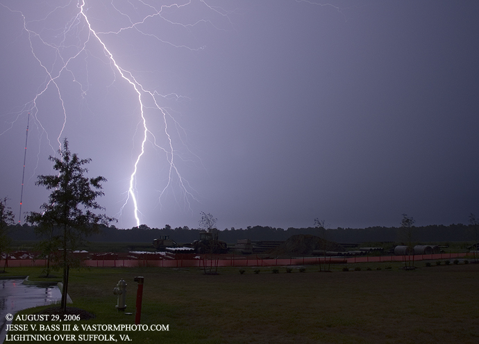
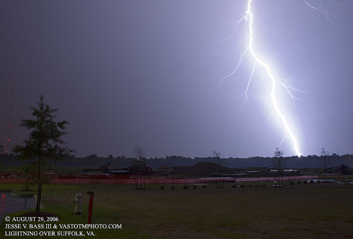
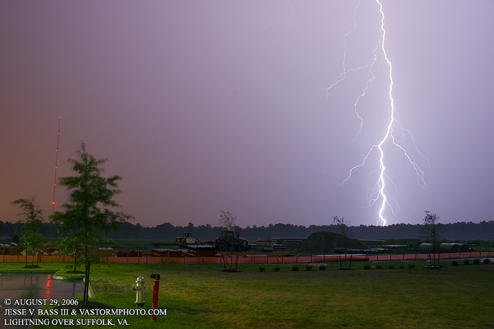
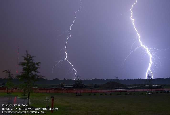
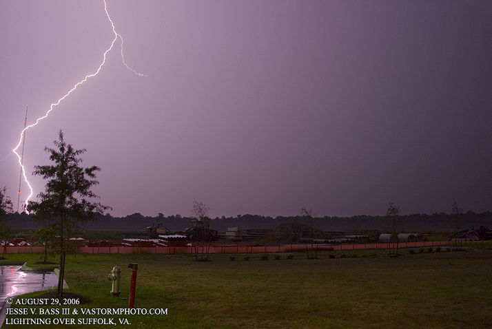
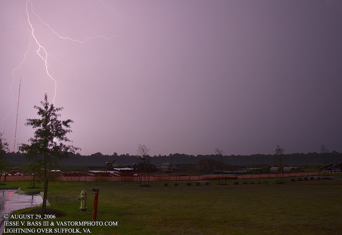
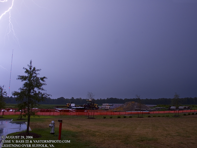
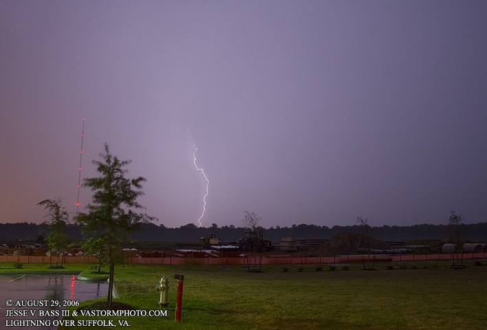
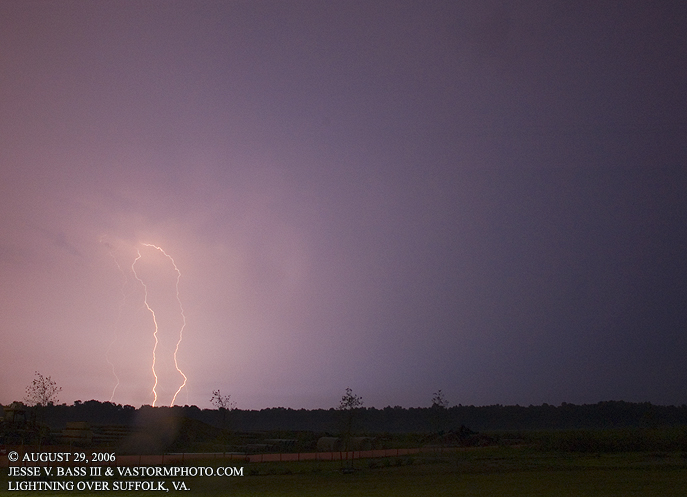
THUNDERSTORMS ACROSS HAMPTON ROADS August 29, 2006 After several hot days again with temperatures nearing 100 degrees and breaking records for two straight days, a cold front approached the area from the west and set off some storms late in the day in western areas. As it continued to get dark approaching 8:30pm, I was out trying to shoot photos of northern storms over Hampton and Newport News. They were to far away and the western storms appeared to be weakening. I could not get radar data for OTHER reasons, blew a fuse in the Explorer and could not run the laptop. When I was leaving the area, Cristal gave me a radar update and said that the southern storms were still going strong and that I should head south into Chesapeake or southern Suffolk. Well, I did not make it into southern Suffolk as the line of storms from the north joined the southern line and set off a new set of storms right over me. I saw some huge bolts from the storm in northern Suffolk so I jumped off the interstate on to Portsmouth Blvd. west and went into Suffolk to an area where there several large TV towers. I found a building with an overhang just enough to keep me dry so I could shoot photos. Below are the photos of the storm looking north and northeast as the storm was about a mile or so away.
All Images Copyright Jesse V. Bass III and VaStormphoto.com |