|
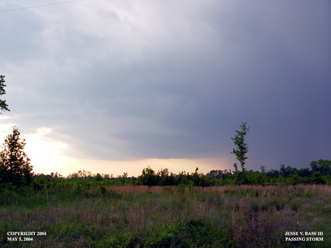
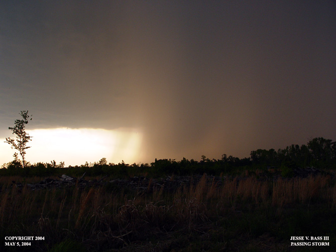
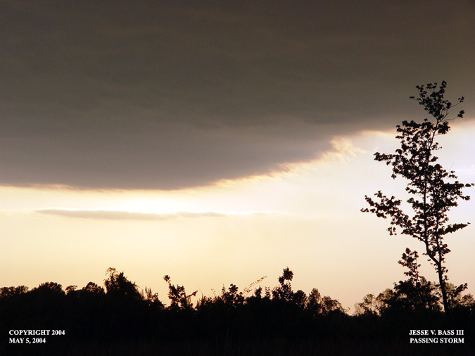
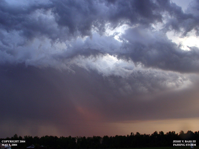
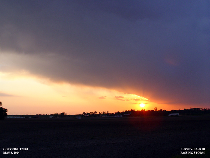
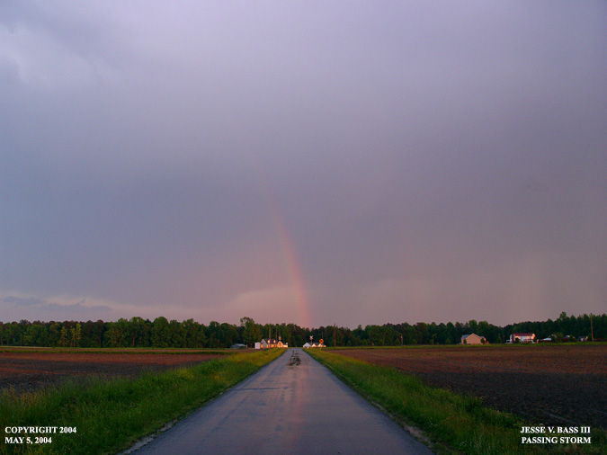
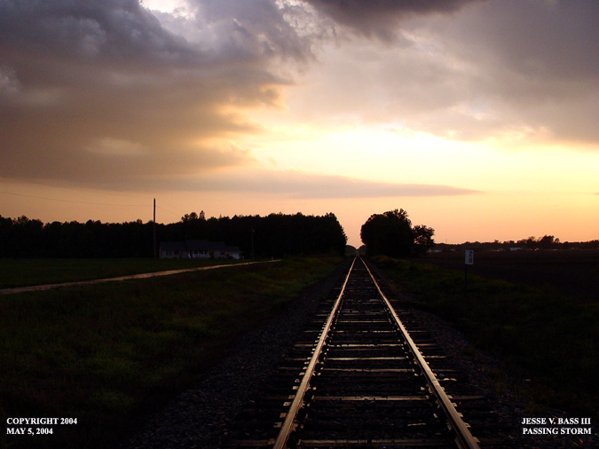
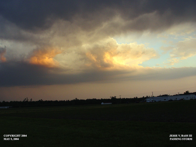
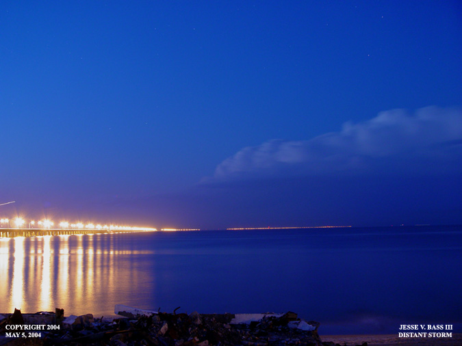
MAY 5TH AND MAY 7TH STORMS May 5, 2004: Franklin, Va.: Here are some photos taken near Franklin, Va. on Wednesday May 5, 2004. The storms were very isolated and widespread. As this storm dropped southeast through the state, it had a severe thunderstorm warning with it through several cities and counties. As it approached, it weakened but just before moving into Franklin, it had pulsed back up and was showing signs of redeveloping. It never reached severe limits in Franklin.
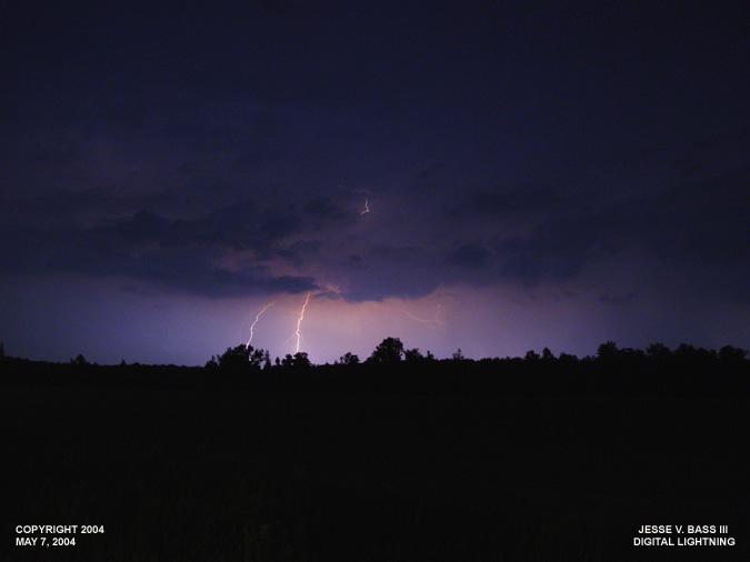
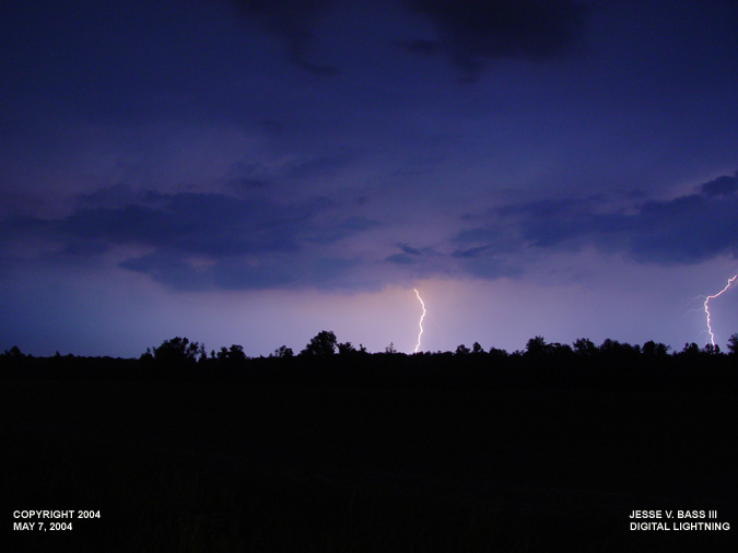
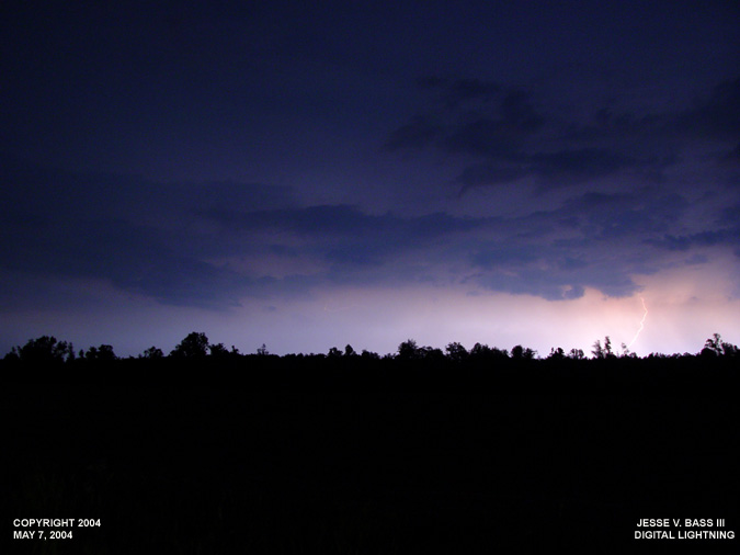
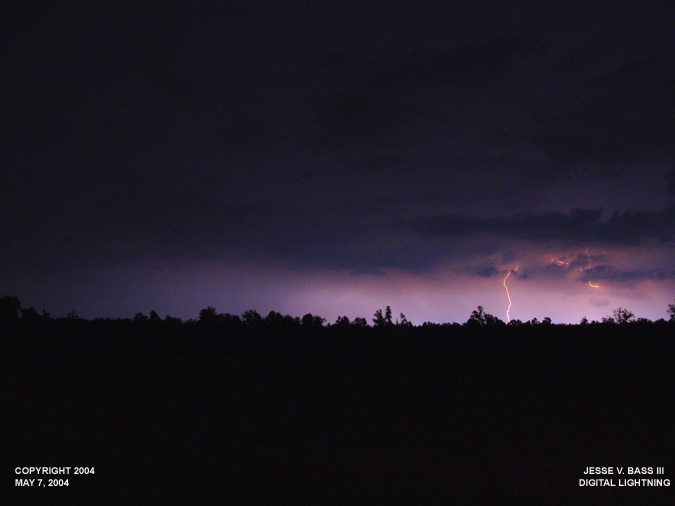
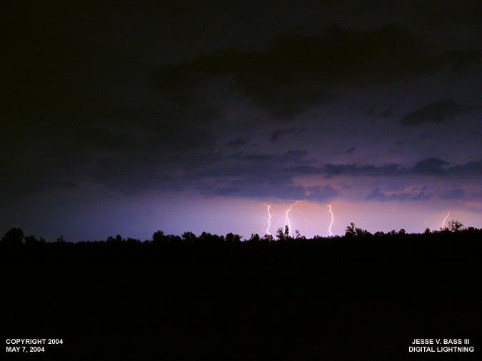
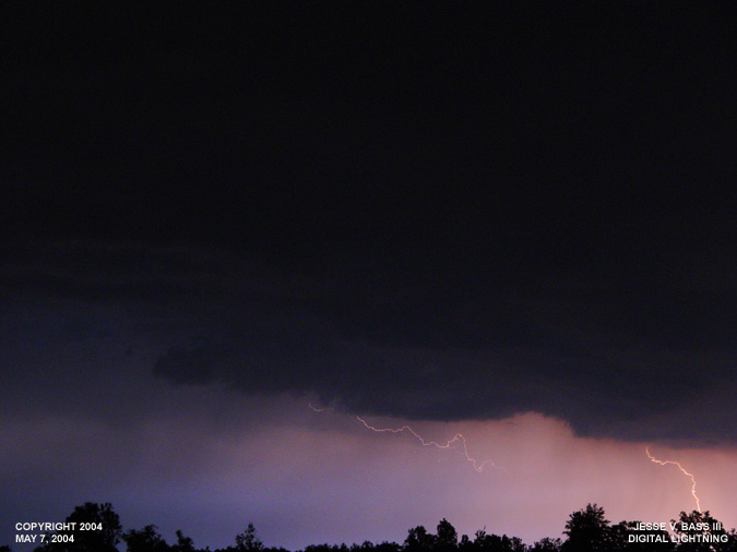
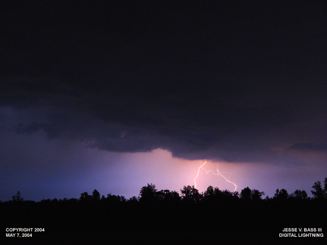
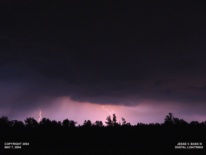
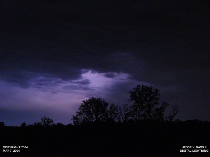
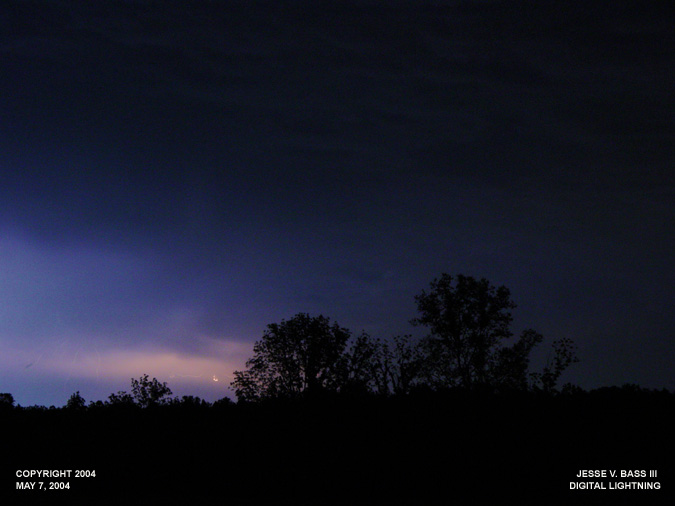
May 7, 2004: Northern Peninsula, Va.: On May 7, 2004, an MCS moved through Ohio during the morning and afternoon hours and made its way into northern Virginia in the early evening hours. Bill Coyle, Cristal and I headed north on I 64 towards Williamsburg when we stopped to check radar thanks to the sprint connection card that allows us to do so on the road. We quickly decided that we needed to turn around and head back south a few miles to pick up Rt. 17 north. The large and powerful storms that were producing hail and large amounts of lightning returns on the lightning tracker, were dropping southeast towards the Chesapeake Bay quickly and beginning to weaken. We were about 15 miles or so away from Tappahannock, Va. where the storms were moving through when Bill jumped out of his Jeep and said we need to find a spot quickly. We found a field along the side of the road, parked and started to shoot some of the distant lightning strikes. Here are some of the photos taken with the Sony digital. This was my first attempt at lightning with the digital.

All Images Copyright Jesse V. Bass III and VaStormphoto.com |